

| Wildflower Destinations > Eastern Washington |
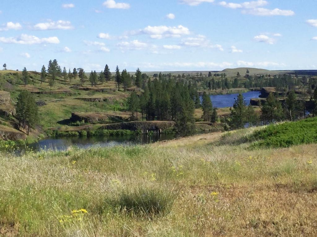
Fishtrap Lake
Lincoln County, Washington
Bureau of Land Management
Fees: none
Activity: walking/biking/hiking
Elevation: 1980'-2170'
Current status (as of 9/17/25): not blooming
Peak wildflower bloom at Fishtrap Lake is typically from early April through May into early June, but there may be some flowers blooming from mid-March until the end of June.*
Typical year: ![]()
Info links:
![]() Photo albums: 2025
Photo albums: 2025

[open map & profile in a new window]
* The dates given on this Web site for each location's blooming season are only estimates and can vary from year to year. Weather conditions in the winter and spring can shift these dates by up to a month, especially in the mountains. For the latest updates, check the Oregon Wildflowers or PortlandHikers Facebook groups, or browse the most recent postings to iNaturalist or Instagram.
